Agadir had 504,768 residents at the 2024 census (HCP, via citypopulation.de). Rebuilt after the 1960 earthquake, the city stretches along its bay, from the marina in the north to Founty in the south, with more residential districts inland. Here are pointers to the main ones, and what to know about getting around them by car.
Talborjt, born of the rebuilding
On 29 February 1960 at 11:40 pm an earthquake struck Agadir: between 12,000 and 15,000 people died and nearly 70% of the city was destroyed. The kasbah, Ihchach and the Talborjt area were among the hardest hit (Wikipedia).
The new Talborjt, rebuilt afterwards, takes its name from an old water tower on the plateau. It is home to the Mohammed V mosque on avenue Président Kennedy, and the Olhão garden, less than a kilometre away, holds a museum devoted to the memory of the earthquake (Barceló). By car, the district is just over a kilometre from the centre.
Hay Salam, east of the centre
Hay Salam (حي السلام) lies east of the city centre, near the Dakhla district (OpenStreetMap). From Hay Salam, allow about 7 km and ten minutes to the centre or the beach, 4 km to Souk El Had, and about twenty minutes to Al Massira airport, closer than from the seafront.
We deliver the car free of charge to the agreed address in Hay Salam, as everywhere else in Agadir, and almost always on the same day: give it when booking and the handover time is confirmed on WhatsApp.
Sidi Youssef and Souk El Had
Agadir’s great market, Souk El Had, is in the Sidi Youssef district, about 3 km from the centre. It is closed on Mondays. Access, parking and tips: see our Souk El Had guide.
Founty and the seafront
At the southern end of the bay, Founty, also called Palm Bay, ends the seafront promenade, about 6 km long and opened in September 2007 (Agadir Monuments). Hotels and residences line up facing the beach. See our Founty and Agadir beach pages.
The marina and Agadir Oufella
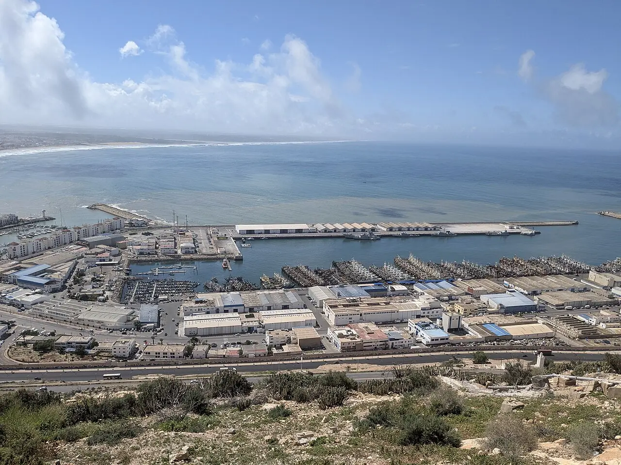
To the north, the marina sits at the mouth of the Oued Tildi, below Agadir Oufella hill (Agadir Monuments). The kasbah on top of the hill was among the areas destroyed in 1960; since July 2022 a cable car has linked it to the Tildi bridge (Le360), and a road also climbs up by car.
Anza, north of the city
Anza, a few kilometres north of the centre on the Essaouira road, has dinosaur footprints about 85 million years old on its beach (Le360). It is also the gateway to the coast towards Tamraght and Taghazout: see our Anza page.
Getting between neighbourhoods
The distances below start from the city centre (Place Al Amal) and come from OpenStreetMap, without traffic; each district opens the route in Google Maps.
Between districts, a car is the simplest way to combine visits. Hilal Luxury Cars brings it to your hotel or address at no charge, from 250 MAD a day, with no deposit if you take full coverage: see our Agadir car rental page.
- Talborjt≈ 1 km · 5 min
- Marina≈ 3 km · 5 min
- Souk El Had (Sidi Youssef)≈ 3 km · 5 min
- Founty≈ 4 km · 10 min
- Hay Salam≈ 7 km · 10 min
- Anza≈ 8 km · 10 min
Not sure about a district or a delivery address? Message us on WhatsApp at +212 661 847 072: the team replies at any hour.